New Zealand live conditions
Live flood cameras, river levels and weather
Use this starting point to check severe-weather warnings, rain radar, river and rainfall monitoring, highway conditions and public camera networks across Aotearoa New Zealand.
Check live conditions now
Open the source that best matches what you need. These services are operated by government agencies, councils or national environmental organisations and may update at different times.
Severe-weather warnings
See current MetService warnings and watches before checking local conditions.
Live weatherRain radar
Track where rain is falling and how weather is moving across New Zealand.
National dataRiver flows and rainfall
Explore water-quantity information supplied by councils through LAWA.
Road conditionsHighways and traffic cameras
Check Waka Kotahi NZ Transport Agency journeys, closures, incidents and available traffic cameras.
Public camera networks
Camera coverage varies between regions. Images can be delayed, obscured or unavailable, so always compare them with official warnings and monitoring data.
Horizons webcams
River, floodgate, coast and access views throughout Manawatū–Whanganui, including Moutoa, Makino, Ōroua and Whanganui locations.
Open Horizons webcamsMaintained by Horizons Regional Council; some feeds are external.Awanui River webcam
View the Awanui River in Northland near communities exposed to river flooding around Kaitaia and Awanui.
Open the Awanui webcamProvided by Northland Regional Council; check the image timestamp.NZTA Journey Planner
View highway conditions and available traffic cameras to help check whether routes may be affected by weather, slips, flooding or closures.
Open Journey PlannerUse current road notices and closure information as well as images.Windy webcam map
Browse publicly listed cameras on a map. This can provide extra visual context where an official regional camera is unavailable.
Open the webcam mapThird-party source—not an emergency warning service.Your regional live flood dashboard
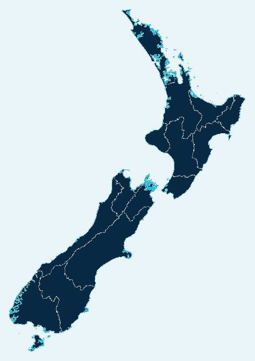
Choose a region once to bring its key official flood links together: weather warnings, river and rainfall monitoring, road conditions, cameras where available, hazard information and the full local guide.
Manawatū–Whanganui live flood dashboard
Open the latest information directly from the organisations responsible for monitoring and public warnings.
Use official advice first. Readings and camera images may be provisional, delayed or unavailable. Each link opens the source in a new tab so you can check its timestamp and latest notice.
Use the information together
No single picture or number shows the whole situation. A safer check follows this order:
What a camera can—and cannot—tell you
A camera may help you
- See visible river, coast, road or floodgate conditions.
- Compare the current view with normal conditions.
- Check whether access appears affected.
- Support information from warnings and gauges.
Never rely on a camera alone
- It may not show upstream rain or water approaching from elsewhere.
- The timestamp, view or equipment may be faulty.
- Darkness, spray, debris and weather can hide danger.
- A clear image does not guarantee a road or property is safe.
Live flood camera questions
Are all the camera images live?
Update frequency depends on the camera owner. Some provide continuous video, while others upload still images at intervals. Check any timestamp shown by the source.
Can I use a camera to decide whether it is safe to drive?
No. Follow official road closures, warnings and emergency instructions. Floodwater can be deeper or faster than it looks, and damage may be hidden beneath it.
Why is there no flood camera for my town?
Public coverage varies considerably. Use your regional council’s river and rainfall monitoring, MetService warnings, NZTA road information and your local Civil Defence channels where no suitable camera exists.
Can a council or business add a public camera to this page?
Yes. We welcome authorised links from councils, community organisations and camera owners. Contact us with the public page, location, purpose and owner details so it can be checked before listing.
What should I do when flooding threatens my property?
Protect people first and follow official advice. If there is enough safe time, use your property plan to move valuables, isolate utilities when instructed and deploy suitable protection before water reaches the site.
Operate a useful public camera?
Councils, community groups, tourism operators and businesses can suggest authorised river, road, coast or weather cameras for inclusion as this New Zealand resource grows.
Turn live information into an early flood plan
Special Solutions Flood Protection helps homes, schools, marae, councils and organisations identify vulnerable openings, practical trigger points and suitable temporary protection.
Important: This page provides general information and links to external services. It is not a real-time emergency service, engineering certification or a guarantee of safety. Camera feeds and monitoring data can be delayed, interrupted or provisional. Follow official warnings and instructions. Information and links reviewed 9 September 2026.