New Zealand flood information / Taranaki

Taranaki regional guide
Flood protection in Taranaki
Many Taranaki rivers are short and steep, draining from higher ground toward the coast. Orographic rain can produce rapid rises, while urban surface flooding can occur where local drainage is exceeded.
Representative regional image: Ulrich Lange, via Wikimedia Commons. Licence and full attribution details are provided on the linked source page.
Understanding flood risk in Taranaki
New Plymouth, Stratford, Hāwera, coastal settlements and rural sites sit across many compact catchments where conditions can change quickly.
Short, steep rivers and streams
Confirm site-specific exposure through council mapping, local observations and qualified advice where required.
Heavy rain enhanced by Taranaki Maunga
Confirm site-specific exposure through council mapping, local observations and qualified advice where required.
Urban drainage exceedance and coastal effects
Confirm site-specific exposure through council mapping, local observations and qualified advice where required.
Track both local rain and upstream catchments. Check culverts, driveway falls, low thresholds and any place where runoff from higher land can concentrate.
Planning for people, places and continuity
Schools and early learning
Map nearby streams, playing-field low points and vehicle entrances. Staff need a trigger that leaves enough time to set barriers without entering unsafe water.
Iwi, marae and community facilities
Marae and community sites should include safe whānau access, stream and culvert behaviour, generator and water-system resilience, and protection priorities for taonga.
Councils, businesses and organisations
Dairy, energy, industrial and public sites should plan around critical plant, chemicals, tanks, switchboards and safe access for staff or emergency services.
Official Taranaki flood information
Use official warnings first, then regional monitoring and hazard information. Live readings can be provisional or interrupted during severe weather.
Prepare before water reaches the site
Use flood maps, LIM information, past events, drains, contours and site photos.
People first, then critical entrances, services, records, stock, plant and continuity functions.
Choose the forecast, gauge level or on-site observation that starts deployment.
Assign roles, label equipment, time the setup and review after every exercise or event.
Portable flood protection options
A doorway, garage, loading bay and whole-site perimeter do not need the same solution. Expected depth, flow, ground surface, width, corners, storage, deployment time and drainage behind the barrier all influence the choice.
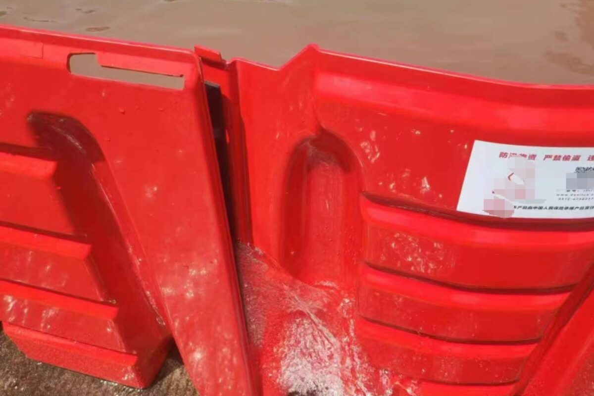
A continuous barrier line can be configured around vulnerable areas.
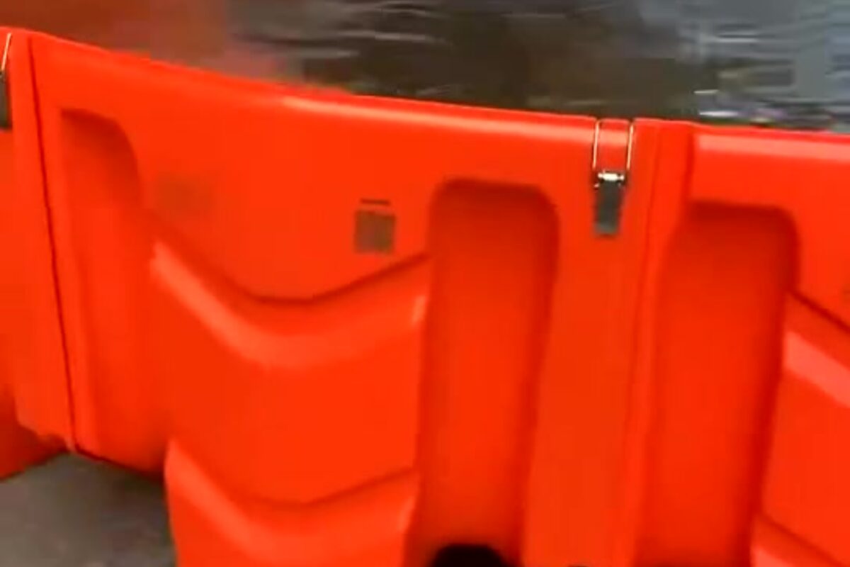
Dry-weather training helps teams deploy safely and consistently.
Turn Taranaki flood information into a site plan
Send Special Solutions Flood Protection photos, measurements and what you know about how water reaches the property. We can help identify a practical starting point for a home, school, marae, council site or organisation.
Request a free remote assessmentImportant: General educational information only—not real-time emergency advice, engineering certification or a guarantee against flooding. Follow official warnings and obtain property-specific advice for life safety, building work and critical infrastructure. Information and links reviewed 8 September 2026.