New Zealand flood information / West Coast

West Coast regional guide
Flood protection in West Coast
The West Coast is exposed to very high orographic rainfall. Short, steep rivers can rise rapidly, while the Buller/Kawatiri, Grey/Māwhera and other larger systems can produce widespread flooding.
Representative regional image: Krzysztof Golik, via Wikimedia Commons. Licence and full attribution details are provided on the linked source page.
Understanding flood risk in West Coast
Buller, Grey, Westland and isolated coastal or inland communities can face flooding, slips, debris and transport disruption at the same time.
Very high rainfall and rapidly rising rivers
Confirm site-specific exposure through council mapping, local observations and qualified advice where required.
Large river systems and low-lying town areas
Confirm site-specific exposure through council mapping, local observations and qualified advice where required.
Slips, debris, coastal effects and route isolation
Confirm site-specific exposure through council mapping, local observations and qualified advice where required.
Plan for gauges, power or communications to be interrupted and for road access to close early. Store protection equipment where it remains reachable above expected water levels.
Planning for people, places and continuity
Schools and early learning
Include school transport, bridges and isolation in the decision plan. A closure or deployment trigger may need to occur before water reaches the grounds.
Iwi, marae and community facilities
Marae and community facilities should preserve safe shelter, water, sanitation, power and communications, while protecting wharenui, kitchens, records and taonga.
Councils, businesses and organisations
Mining, tourism, transport, councils and rural businesses should identify critical plant, fuel, electrical systems and the minimum functions needed during isolation.
Official West Coast flood information
Use official warnings first, then regional monitoring and hazard information. Live readings can be provisional or interrupted during severe weather.
Prepare before water reaches the site
Use flood maps, LIM information, past events, drains, contours and site photos.
People first, then critical entrances, services, records, stock, plant and continuity functions.
Choose the forecast, gauge level or on-site observation that starts deployment.
Assign roles, label equipment, time the setup and review after every exercise or event.
Portable flood protection options
A doorway, garage, loading bay and whole-site perimeter do not need the same solution. Expected depth, flow, ground surface, width, corners, storage, deployment time and drainage behind the barrier all influence the choice.
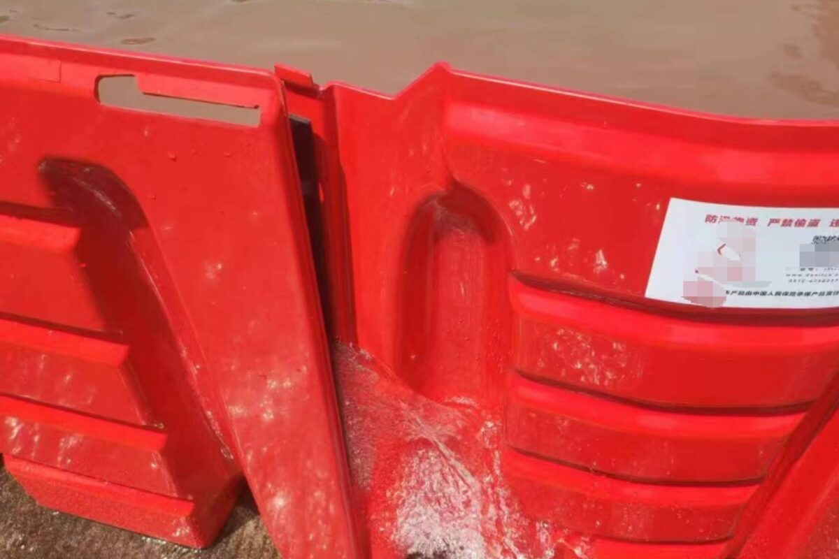
A continuous barrier line can be configured around vulnerable areas.
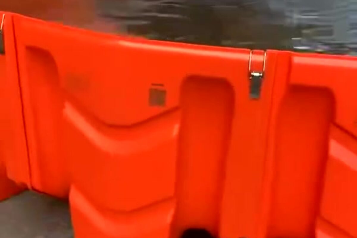
Dry-weather training helps teams deploy safely and consistently.
Turn West Coast flood information into a site plan
Send Special Solutions Flood Protection photos, measurements and what you know about how water reaches the property. We can help identify a practical starting point for a home, school, marae, council site or organisation.
Request a free remote assessmentImportant: General educational information only—not real-time emergency advice, engineering certification or a guarantee against flooding. Follow official warnings and obtain property-specific advice for life safety, building work and critical infrastructure. Information and links reviewed 8 September 2026.